

Starting point: near the Municipal Archive of Manteigas.
The Coal Route tells a part of the history of Manteigas, closely related to grazing, rye and forest. From the zone with the higher altitude of the course, beside the use of the natural pastures for the cattle, that is still grazed nowadays, the coal was produced through the burning of heather root for sale in the village, which, due to its high density, presents great characteristics to make hot coal.
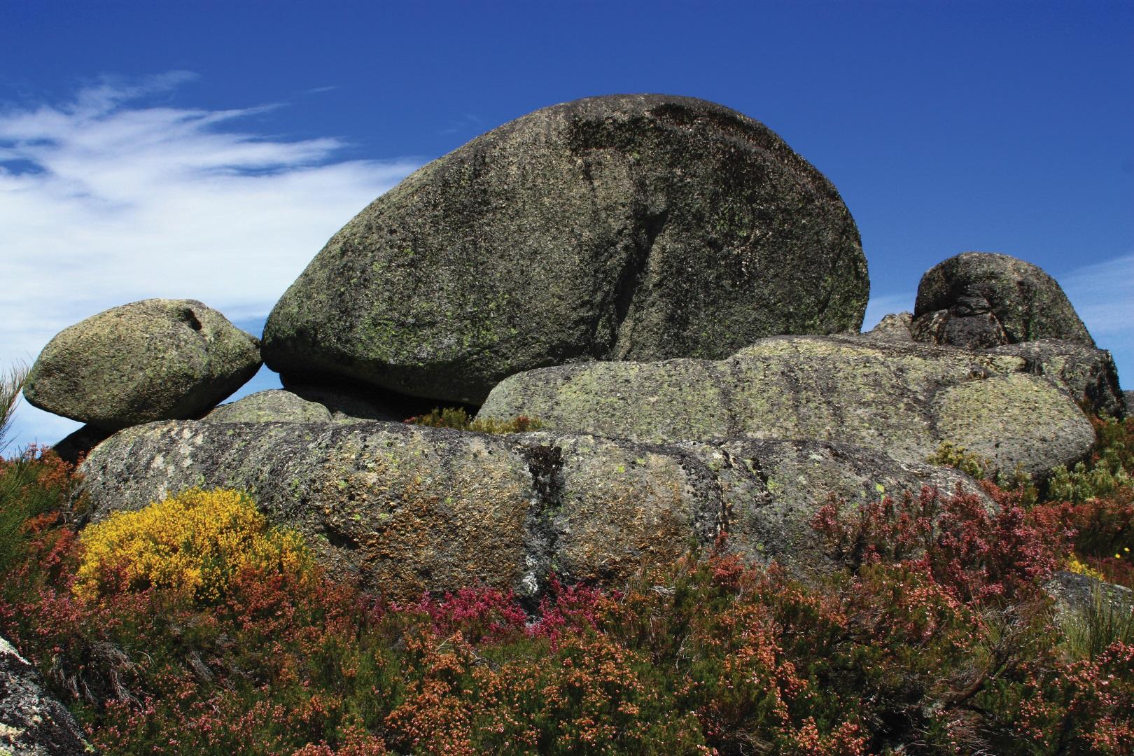
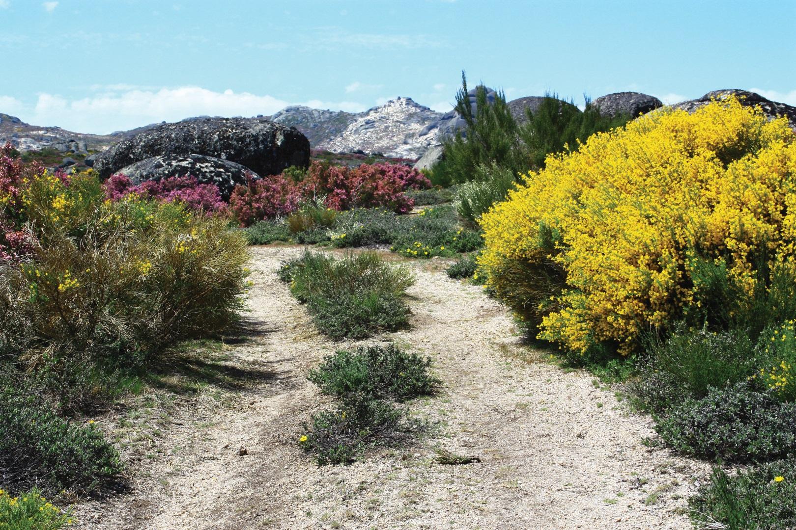
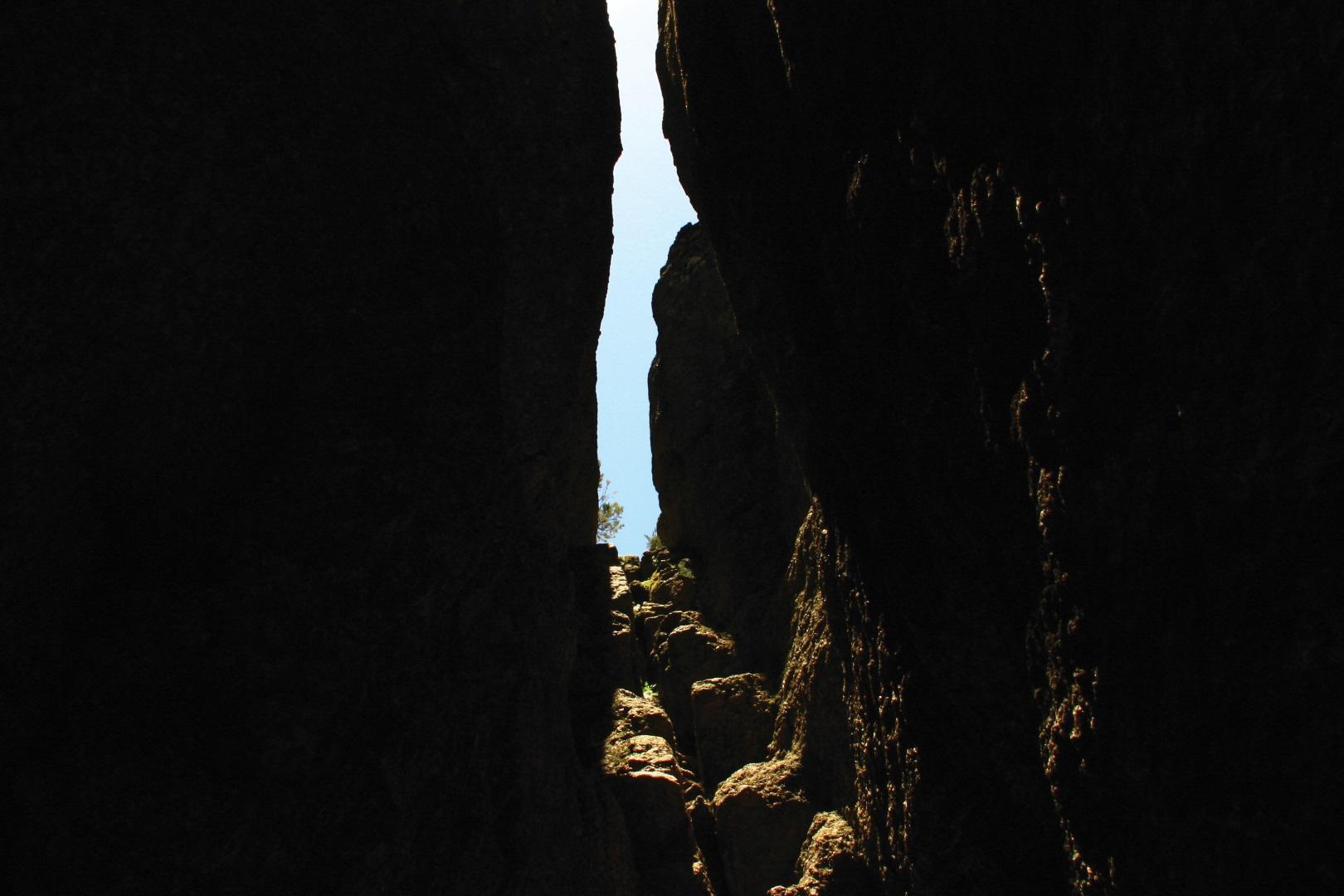
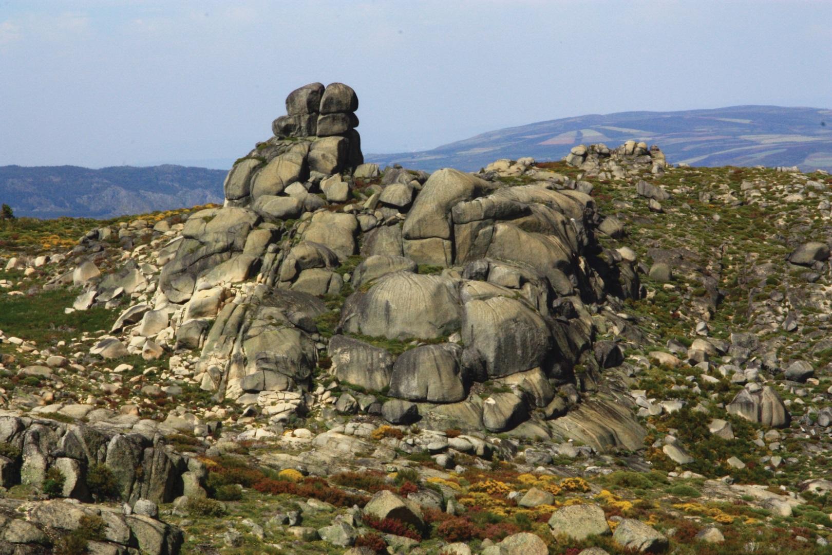
The beauty of the natural landscape that the course offers is demonstrated by the presence of Bushes and Scrubs and by Hardwood Forests, in contrast with the natural sculptures conceived by the rocky scarps, as the “Fraga da Cruz” – majestic granitic hillock, the “Fragão do Corvo” (Crow Rock) and the “Pedras Sobrepostas” (Overlapping Stones).
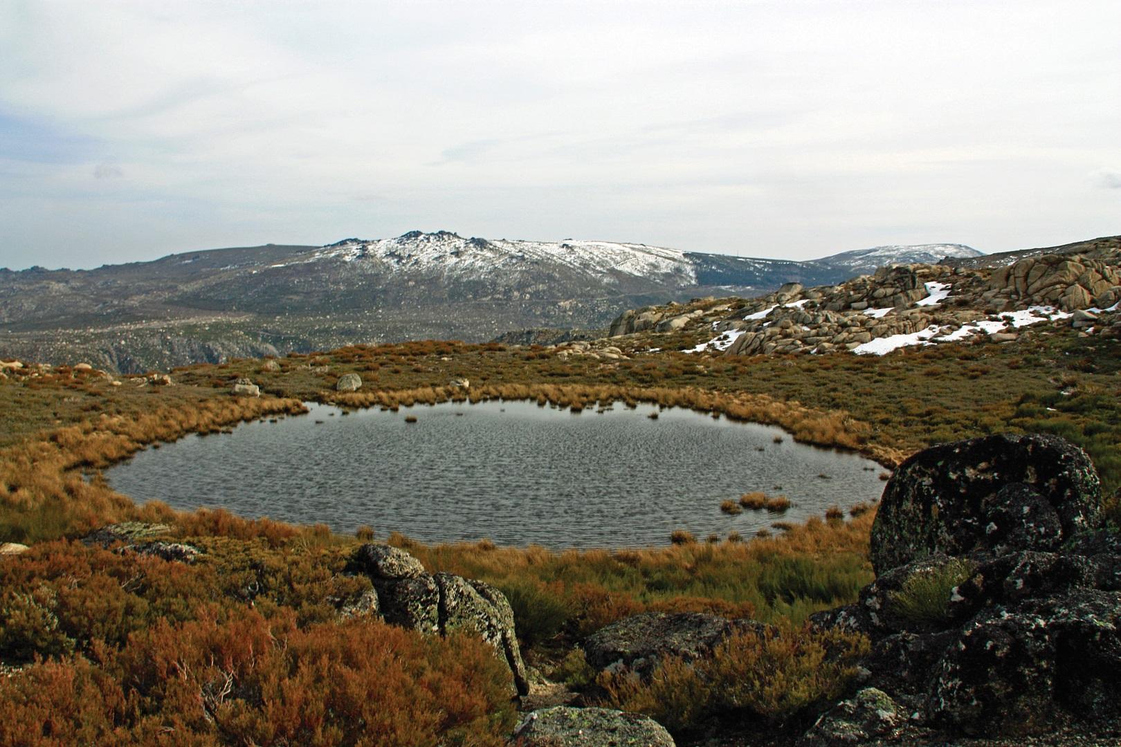
This trail, besides crossing the “Penhas Douradas” (Golden Rocks) – small mountain village that had its origin in the treatment at altitude of respiratory diseases, show’s the “Nave da Mestra” – topographic depression that presents a large plan surrounded by a massive granitic very fractured. The privilege of getting to know these sites is complemented by the “Vale das Éguas” (Mares Valley), the water mirror of “Vale Rossim” (Rossim Valley), the “Charca do Perdigueiro” (Pointer Lagoon), by the incredible landscape over the “Vale Glaciar” (Glacier Valley) and the accumulation of mountains that spreads until Spain.
The Coal Route also show the “Observatório Meterológico das Penhas Douradas” (Golden Rocks Meteorological Observatory), built over more than a century to monitor weather conditions in the region.
By going through basal, intermediate and upper Mountain level, this course presents a huge variety of fauna and flora. The white willow, the buster maple, the “cervum”, red comfrey, hyacinth fields, beech, chestnut and black oak make up part of the vegetation set. Enhance the value of Rowan, Juniper and Birch, due to its rarity in Portugal. You can also find the “caldoneira”, which holds the conservation status of the Habitats Directive.
The range of animal’s species is huge and extremely varied. In this area inhabit the boar, the fox, the mole, the hedgehog and the hare. As for reptiles, the lizard and the bush lizard are present. The water lines promote the existence of amphibians like the iberian frog, the green frog and the water lizard. The kestrel, the towers owl and the hunter harrier are the masters of the high skies of the Coal Route. With less postage, we have the blue merle, the rocks merle, the black martin and the kingfisher.
- Alertas
-
-
Trail PR15 Closed
1 January, 2016
-
- Route PR4MTG
-
- Name: Coal
- Type: Circular
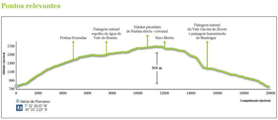
- Coordinates of the beginning W: 7º32'28,35"W 40º24'2,22"N
- Height at the beginning: 767 m
- Minimum height: 767 m
- Maximum height: 1683 m
- Advised direction: Counterclockwise
- Difficulty: Difficult
- Extension: 20 km
- BTT: No
- Useful Documents