

Starting point: near the church of Santa Maria, in the Village of Manteigas.
The Village of Manteigas it’s located in the middle mountain range of Serra da Estrela, embedding itself in the River Zêzere Glacier Valley.
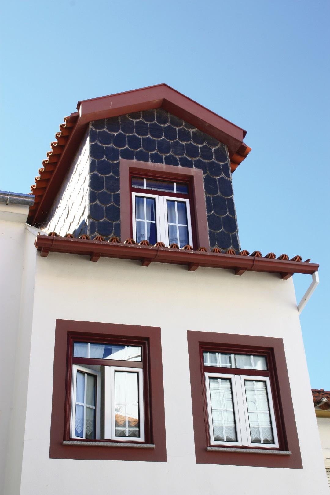
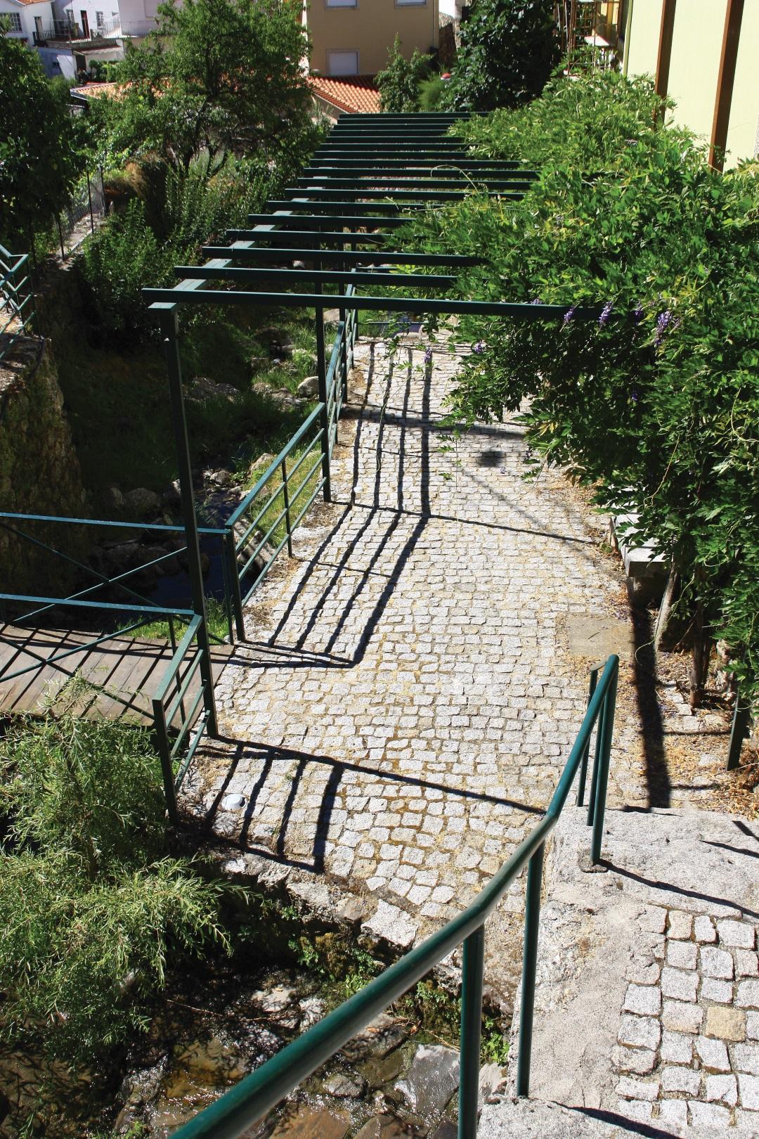
By contemplating the landscape the visitor is confronted with typical streets, traditional houses and monuments of faith and religion, urban and natural heritage of unique beauty. It’s an area of special interest where the urban area fits perfectly in the panoramic view of Zêzere Glacier Valley U-shaped.
The village heritage is very rich and tells a beautiful “beirã” story, related to the grazing activity, the wool and the forest.
In what concerns to churches, the prime church of Manteigas is Igreja de Santa Maria (Saint Mary Church), the oldest in the village, with neo-baroque longitudinal plant with nave, narrower chancel, flanked by vestries.
Together with the Santa Maria (Saint Mary) Church, which is located in the rear, the Nosso Senhor do Calvário (Our Calvary Lord) chapel imposes in a broad plaza. This is a Chapel dated from 1916, square plant and with a unique interior space, where you can see a coverage ceiling wooden trough.
The Misericórdia (Mercy) Church was built between 1685 and 1688, on the spot where once stood the São João Baptista (St. John the Baptist) chapel (1260).
Its location is in the oldest part of the village, where is assumed that has been the center for its growth and development.
The São Pedro (St. Peter) church, in turn, is a nineteenth century church building with Latin cross plan and side chapels.
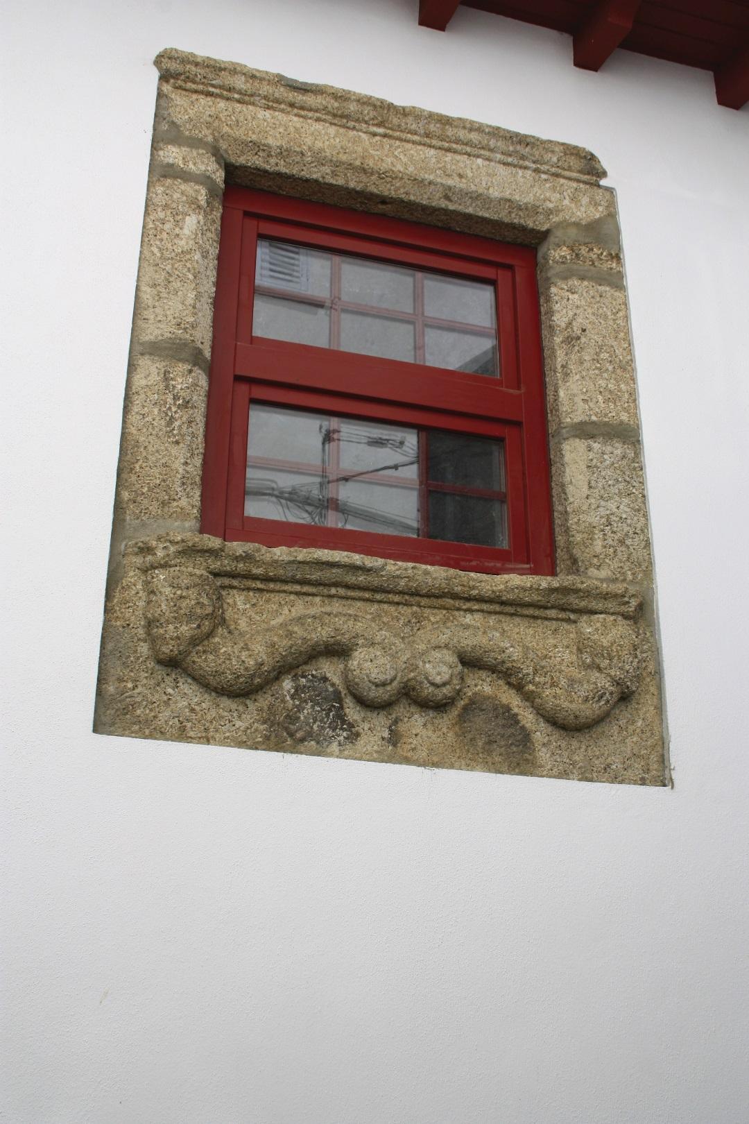
Other religious symbol of the village are the Alminhas (little souls) that are located on the front of one of the buildings in the oldest part of the village. The Alminhas (little souls) are connected with the belief in purgatory, symbolized by a bonfire where all souls must pass to be purged with fire from venial sins.
In what concerns to the urban heritage is to point out the building of Solar da Casa das Obras (Manor of the works house), built in the XVIII century by João Teodoro Saraiva de Vasconcelos. The 50 years that mediate its construction gave name to this monument of baroque architecture.
Near the center of the village stands the City Hall of Manteigas, with a political and administrative architecture of the twentieth century, designed from scratch to public service.
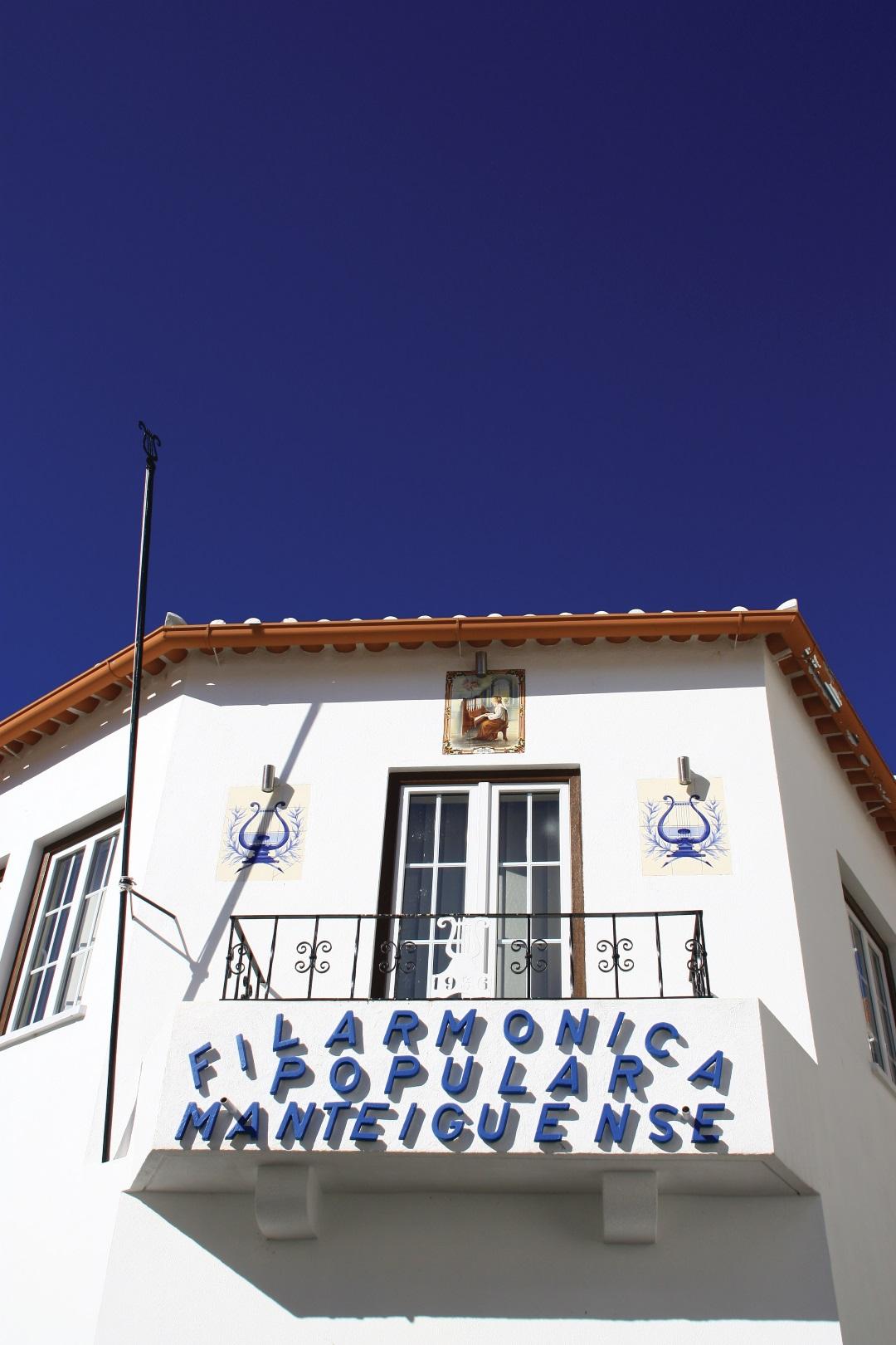
The cultural character, namely from the music, was born in Manteigas in the nineteenth century when Manteigas was visited by a company of clowns. The locals bought some instruments to this company, and then was born the will and desire to learn.
Currently, Manteigas has two poles of music nature, Sede da Música Velha (Old Music Headquarters) – Banda Nova União (New Union Band) and the Sede da Música Nova (New Music Headquarters) – Associação Recreativa Filamónica Popular Manteiguense (Manteiguense Popular Philharmonic Recreate Association).
Among the festivities of Manteigas village stands the Festa do Senhor do Calvário (Calvary Lord Feast), the saint patron of Manteigas which takes place in the third Sunday of August. The story says that broke down a storm so strong that took the streams from the mountain to “dump” continuously water from the hills, dragging boulders to the village. The locals joined altogether in front of the Senhor do Calvário (Calvary Lord) Chapel and asked for clemency. The storm calm down.
Another important celebration of the village is the Festa da Nossa Senhora da Graça (Our Lady of Grace Festival) that takes place on the 8th of September. The tradition says that the Lady intervened in favour of some sailors that, in high sea, were caught by a big storm menacing to bury them with the boat in the bottom of the ocean. By begging the divine protection they saw a smiling Virgin figure appear that led them in calm weather into a safe harbor. The sailors, in a gesture of recognition, offered a silver lamp box which is suspended in the ceiling of the choir of Manteigas São Pedro (Saint Peter) Church.
- Alertas
-
-
Trail PR15 Closed
1 January, 2016
-
- Route PR3MTG
-
- Name: Rota da Vila
- Type: Circular
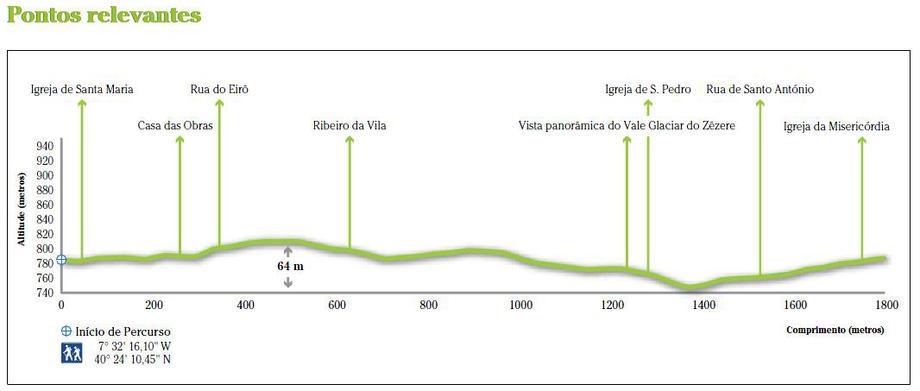
- Coordinates of the beginning W: 7º32'16,10"W 40º24'10,45"N
- Height at the beginning: 764 m
- Minimum height: 740 m
- Maximum height: 804 m
- Advised direction: Counterclockwise
- Difficulty: Easy
- Extension: 1,8 km | 2,3 km (with variants)
- BTT: Yes (with limitations)
- Useful Documents