


Starting point: on the parking lot of the Inferno Well (Poço do Inferno).
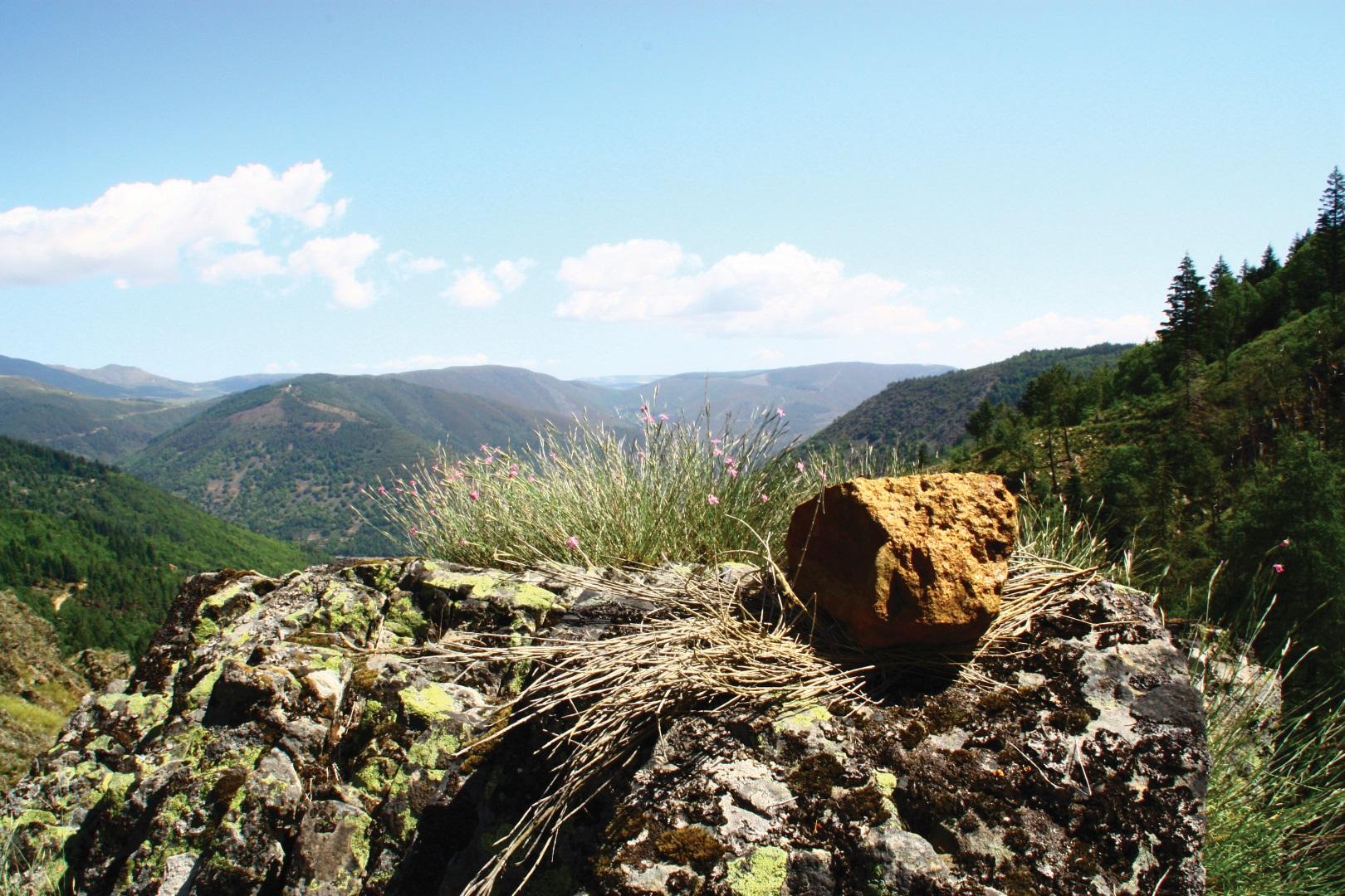
By going through the Inferno Well Route we can see a dualism of landscape, humanized and natural, marked by different kinds of vegetation, with hardwoods and softwoods forests, where the senses arouse different emotions along the trail.
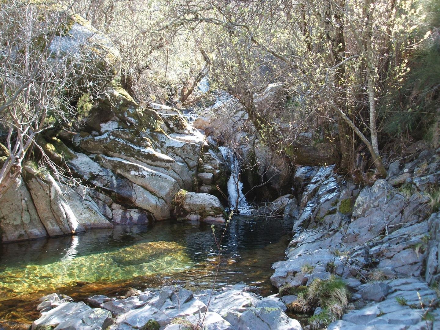
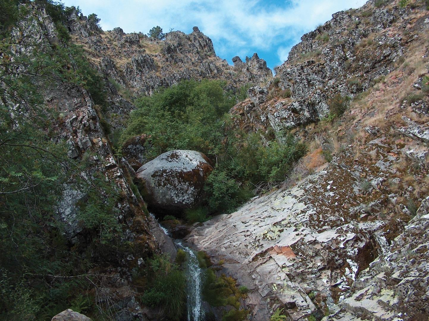
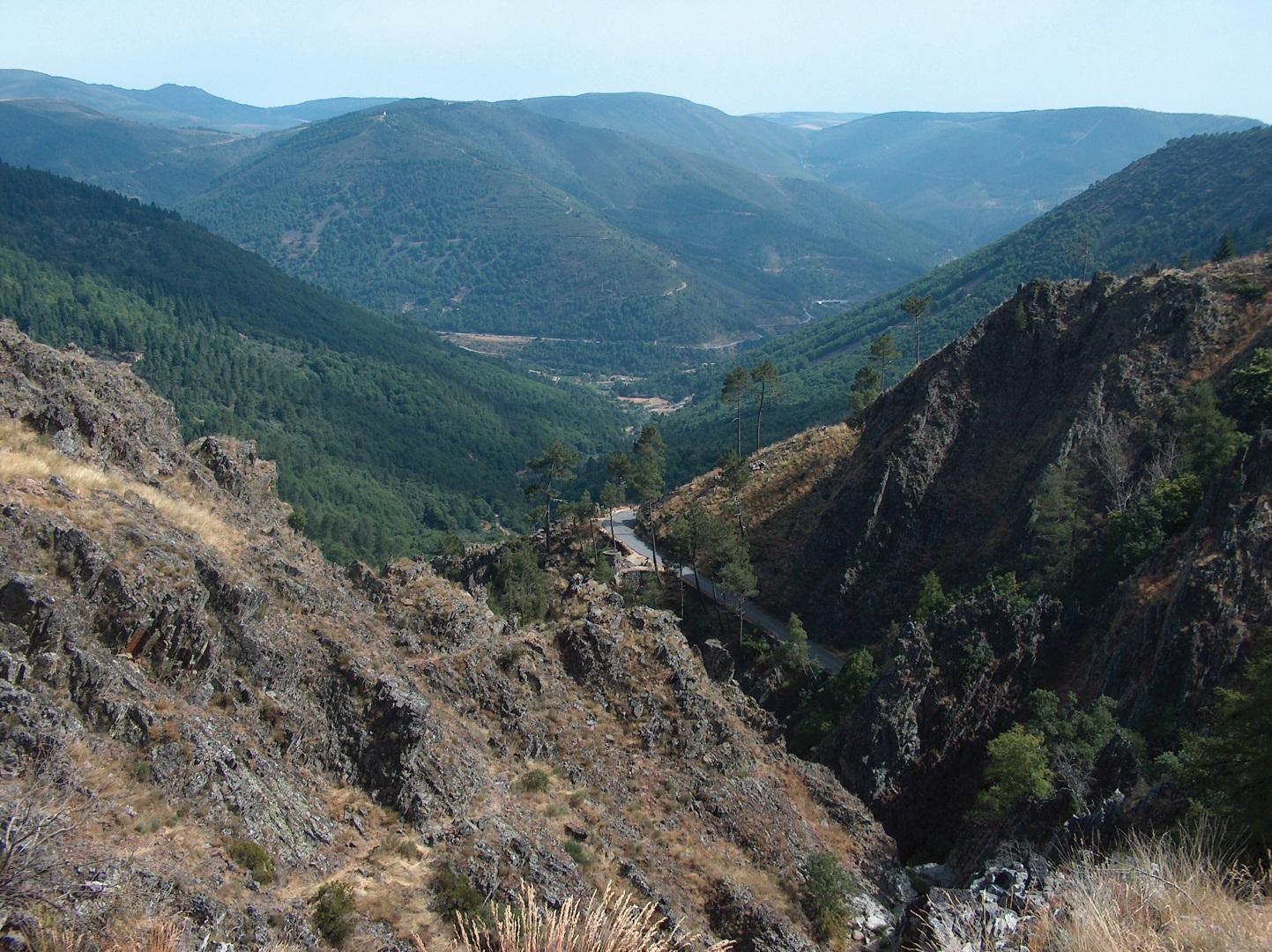
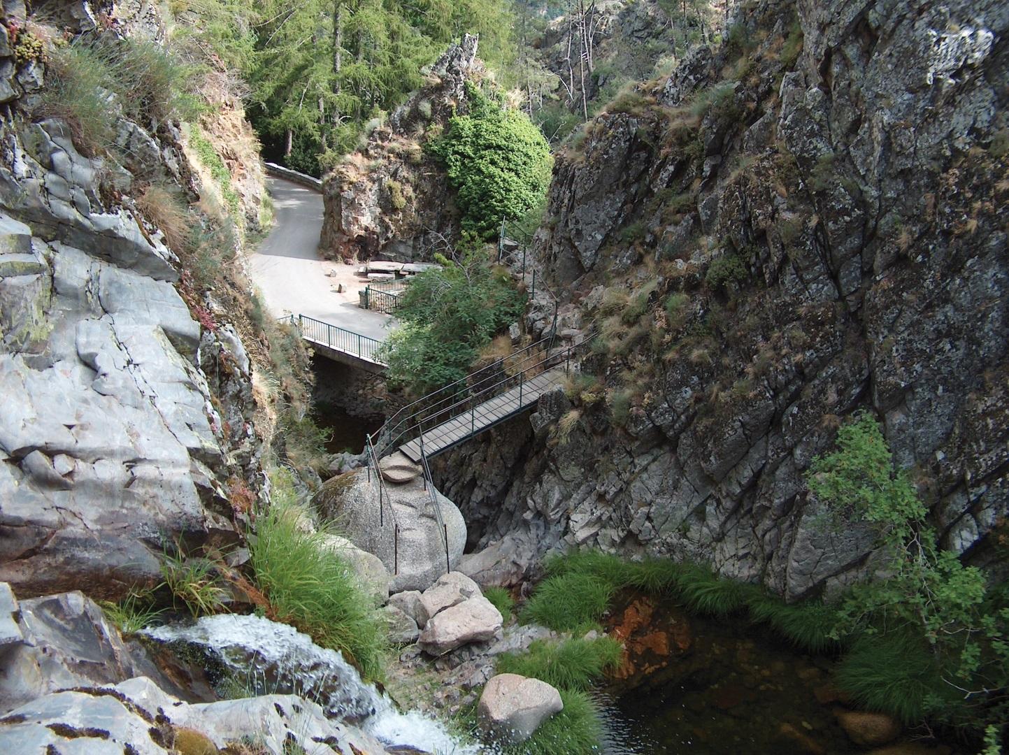
Due to the higher schistose peaks, formed by corneal rocks (phenomenon that occurs when the plastic and hot magma rises through pre-existents rocks), predominate steeps landscapes, where water lines emerge like the Poço do Inferno (Inferno Well) cascade. This natural waterfall is about 10 meters high and sometimes turns into ice during the more stringent winter.
It’s a geological monument with an extreme beauty and one of the most interesting points of this route, being one of the ex-libris of Manteigas and Serra da Estrela (Star Mountain).
Regarding the landscape, the hiker can admire the view over the Vale do Rio Zêzere (River Zêzere Valley) and the Vale da Ribeira de Leandres (Leandres Stream Valley). The humanized landscape is dominated by “socalcos” (terraced land) and some “cortes” – support buildings for agriculture activities.
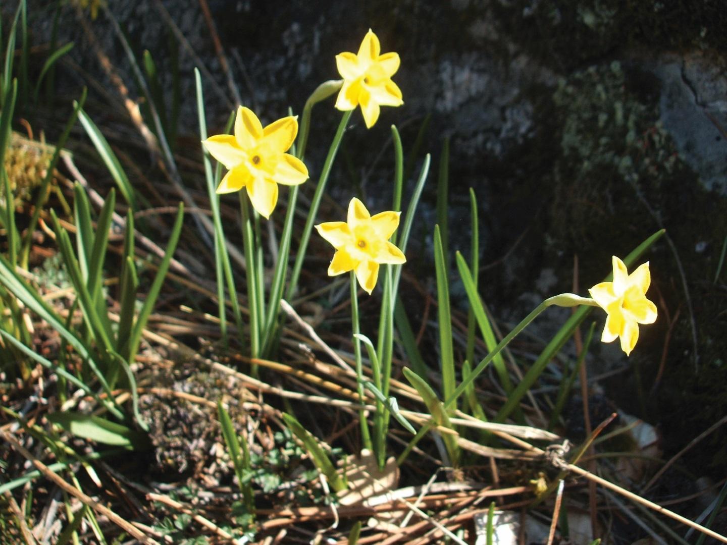
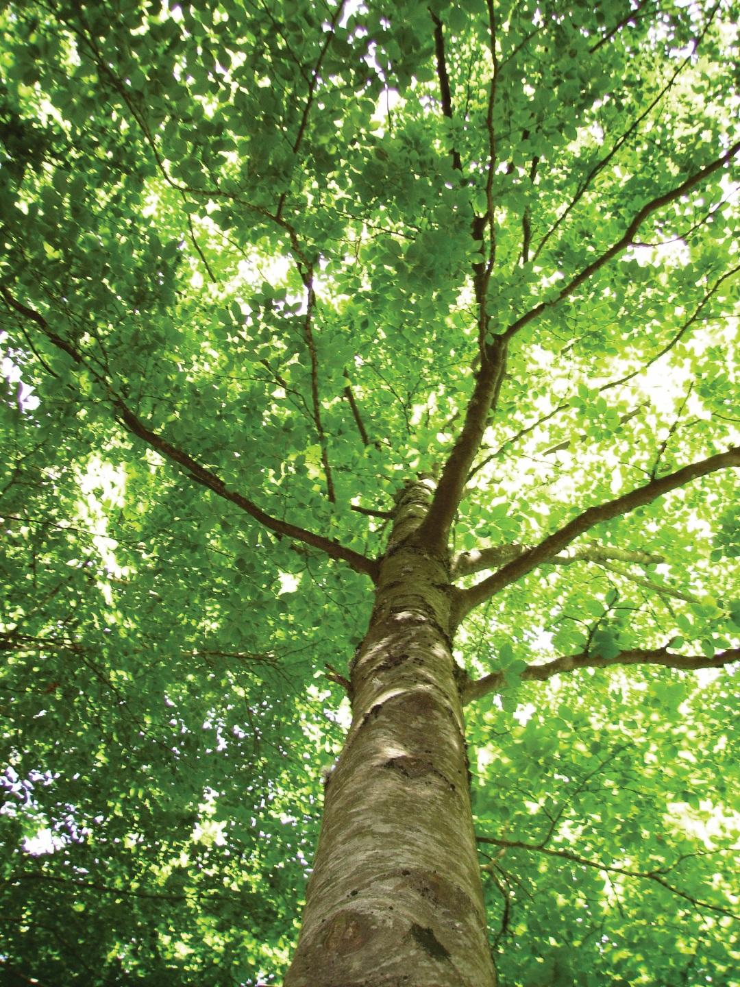
A broad range of species can be found, like the daffodil, the birch, the holm oak and the rowan, all of them with high ecological value. The yew, also present, is extremely rare and it can only be found in Manteigas and Serra da Peneda-Gerês. Besides these specimens, in this trail also dominate the bastard-Maple, the beech, the Oregon pine and the fir.
The diversity of the existent fauna derives from the forest areas and the existing water lines. The characteristics species of this area are the wild rabbit, the fox, the bush lizard and the Lusitanian salamander. In what birds concerns the kestrel and kingfisher are present.
- Route PR1MTG
-
- Name: Trail Inferno Well
- Type: Circular
- Coordinates of the beginning W: 7º31'03,88"W 40º22'24,81"N
- Height at the beginning: 1081 m
- Minimum height: 1081 m
- Maximum height: 1150 m
- Advised direction: Counterclockwise
- Difficulty: Average
- Extension: 2,5 km
- BTT: No
- Useful Documents