

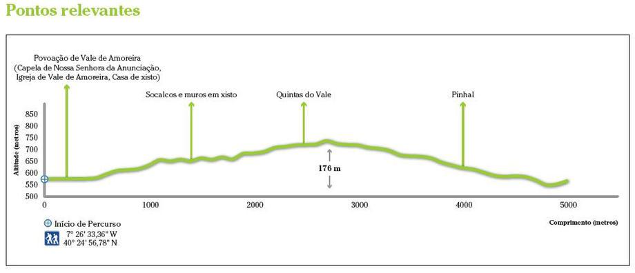
Starting point: near the chapel of Nossa Senhora da Anunciação, in Vale de Amoreira.
The “Amoreira” Valley Route is strongly marked by human influence, allowing the walkers to explore the natural, cultural and landscape patrimony of the parish.
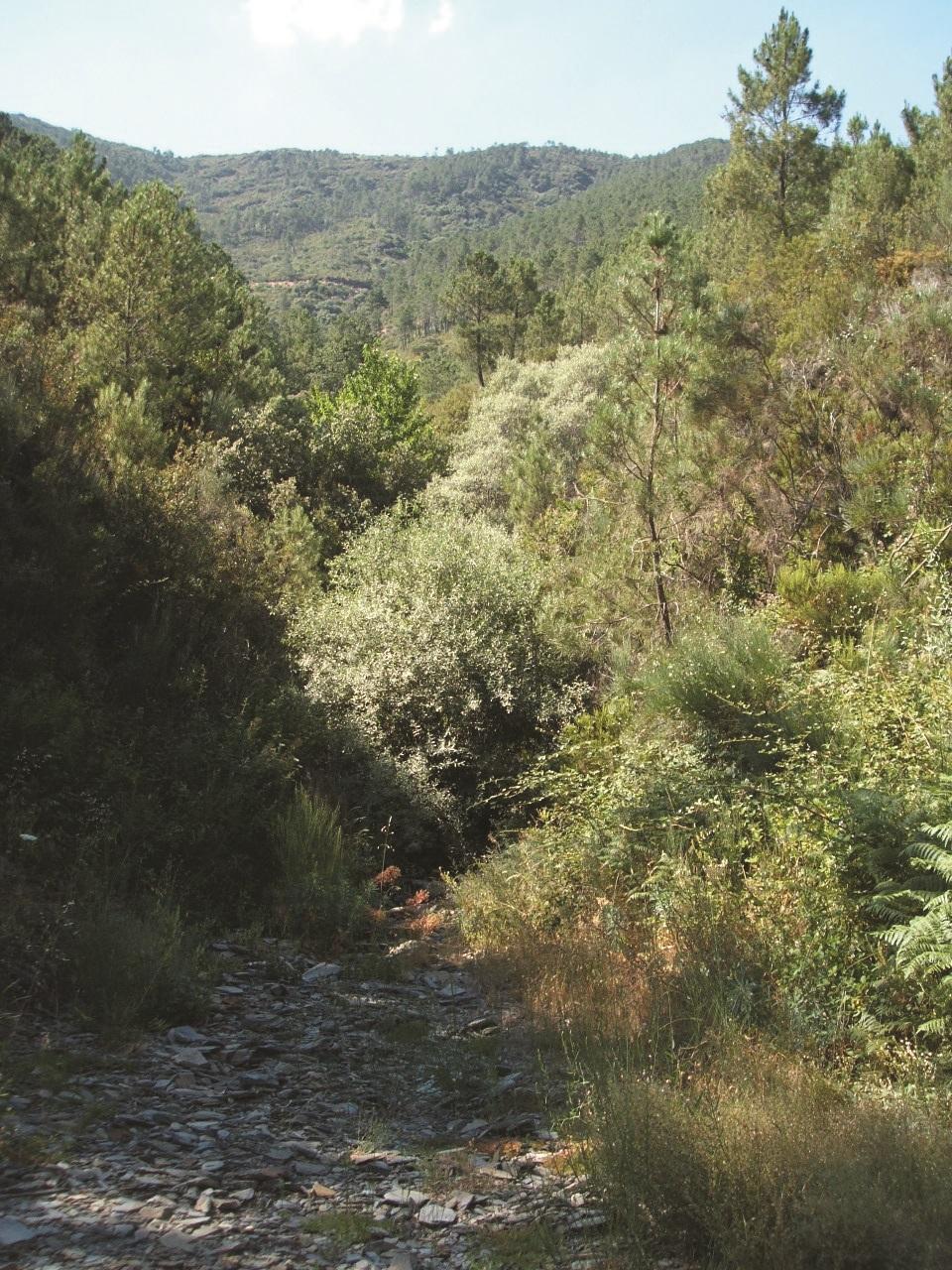
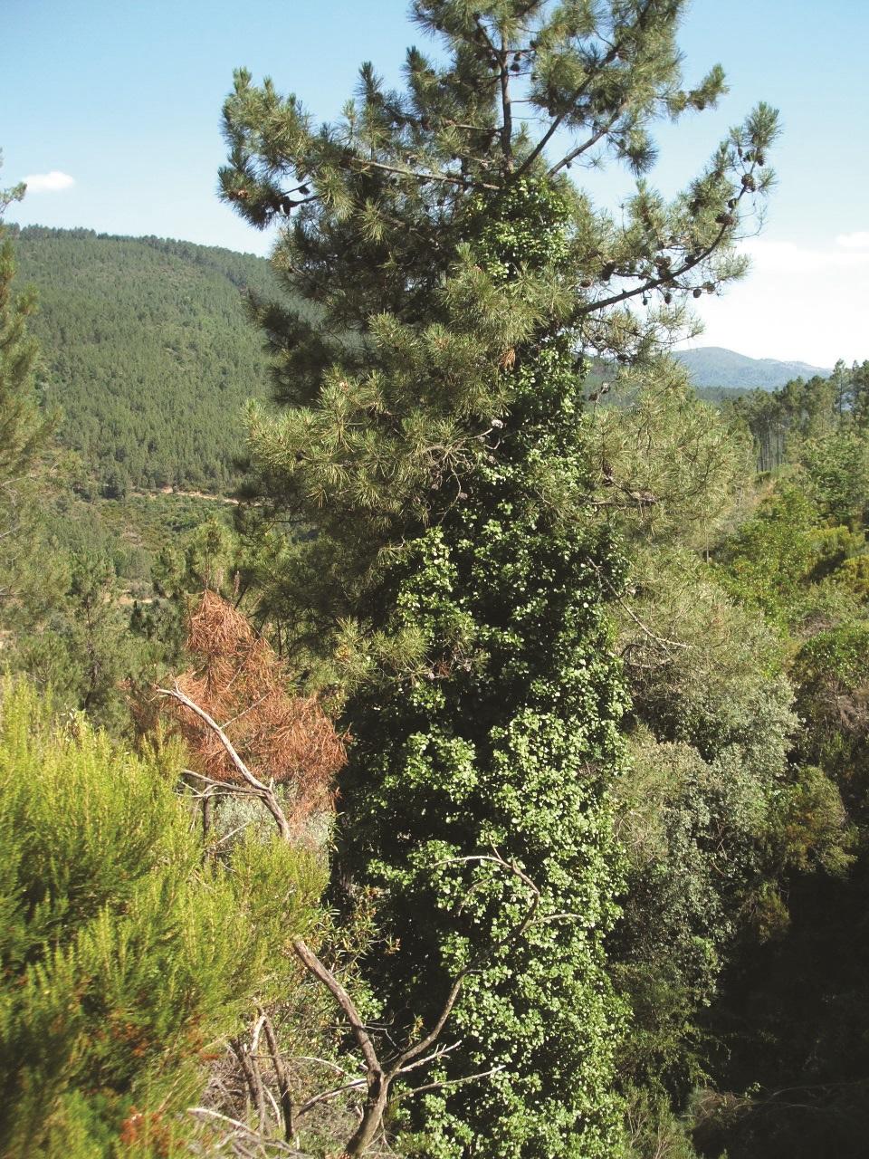
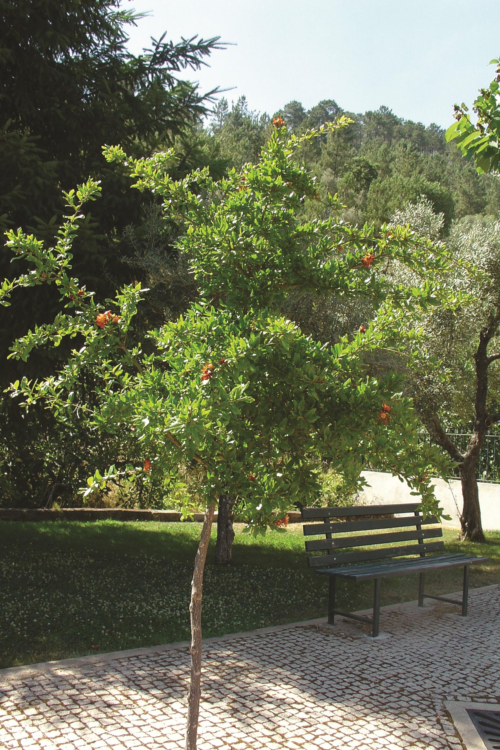
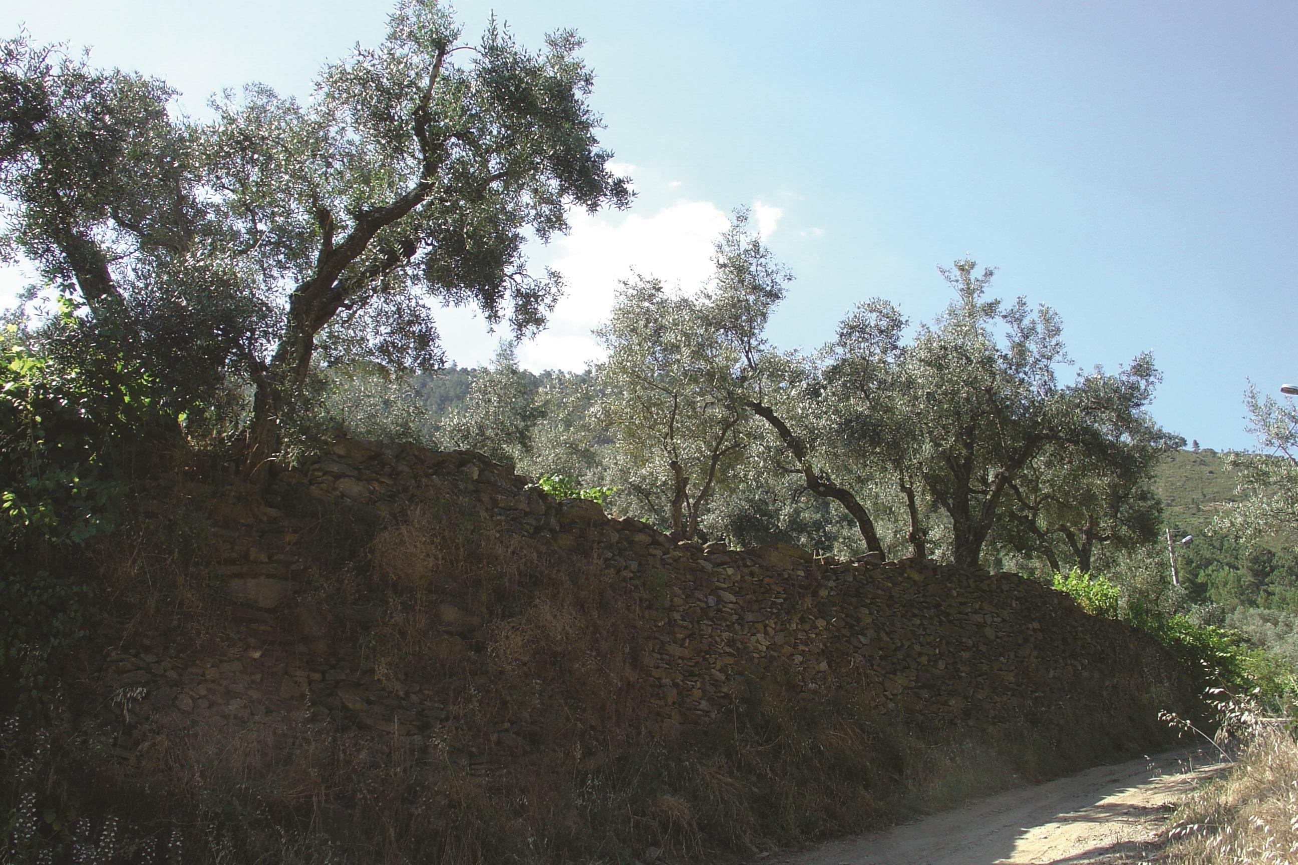
Its landscape is characterized by a huge variety of mosaics interspersed with thickets, sloughs, vegetation spots, paths, walls, schist buildings, little streams, terraces and coniferous forests.
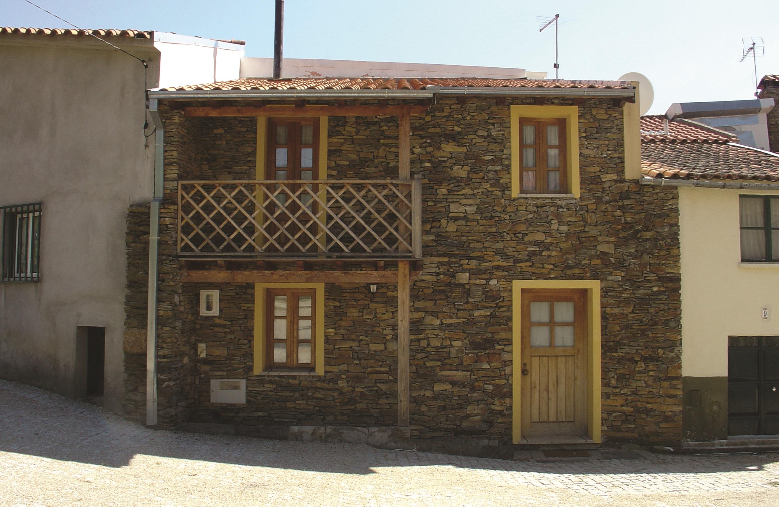
In the humanized patrimony is possible to observe narrow streets, lined with typical houses, and make contact with the historic-religious culture of the local population, particularly with the visit to the Our Lady of Annunciation Chapel (Capela da Nossa Senhora da Anunciação), the parish patron, from the beginning of the XIV century.
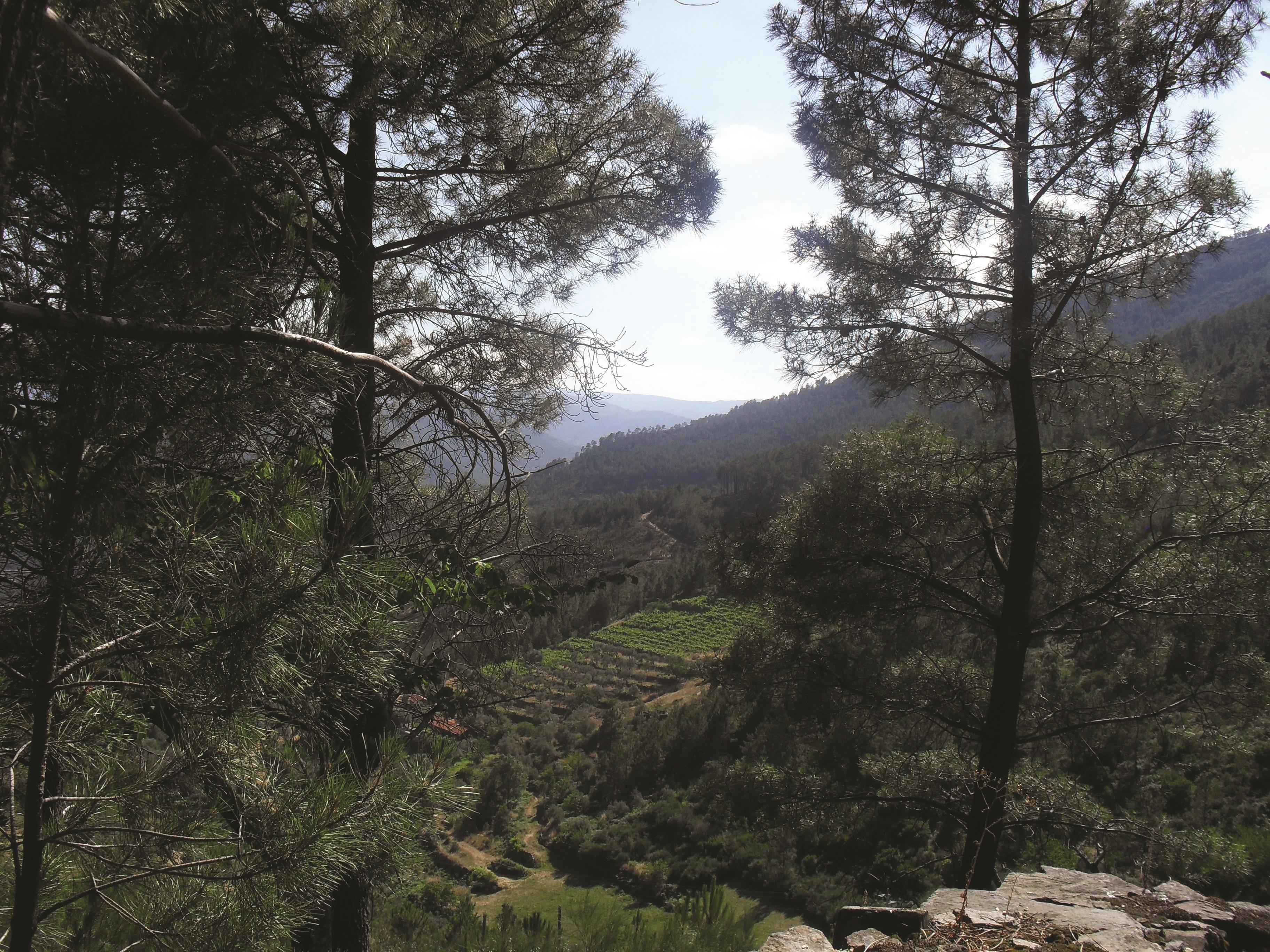
The “Amoreira” Valley Route reveals beautiful views over the rural landscape, with a overview of dense forests and agricultural fields located on the hill flank – Valley Farms.
The extraordinary morphological and chromatic diversity is conferred, among others factors, by the vegetation variety. It deserves special note the wild pine forestation that arises, in the region, such as forestry exploitation par excellence, supporting the most diverse soil and climatic conditions.
Consequence of the human influence along the trail, there are olive groves, vineyards, cornfields and the ryegrass meadows alternating with them.
These forest areas, along with bushes and water lines, provide diversity of fauna and flora, and we can observe species like the lesser horseshoe bat and the greater horseshoe bat that faces a high risk of extinction. In this path are also presents the Montagu’s harrier, the wild rabbit, the crow, the common scops owl and the European polecat, among others.

- Route PR9MTG
-
- Name: "Amoreira" Valley
- Type: Circular
- Coordinates of the beginning W: 7º26'33.36"W 40º24'56.78"N
- Height at the beginning: 575 m
- Minimum height: 550 m
- Maximum height: 726 m
- Advised direction: Clock hands
- Difficulty: Average
- Extension: 5 km | 6,4 km (with leads)
- BTT: Yes
- Useful Documents